about this project
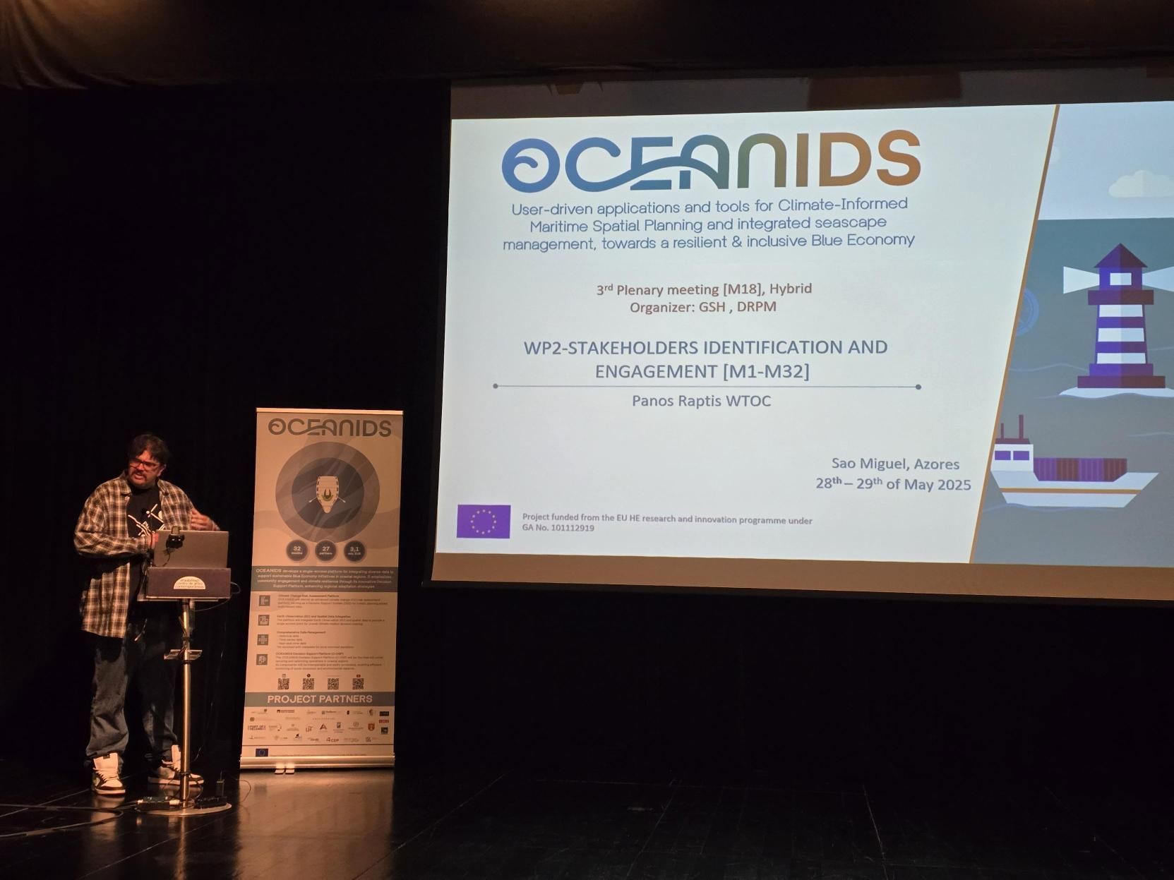
OCEANIDS stands for creating tools and applications driven by users. These tools focus on Climate-Informed Maritime Spatial Planning and integrated seascape management, all aiming to contribute to a resilient and inclusive Blue Economy.
The overall project objective is to develop the tools and applications that enable a more resilient and inclusive society in coastal regions via better-informed and integrated seascape management.
The central concept is to collect, harmonize, and curate existing climate data services, making data accessible, reusable, and interoperable for developing local adaptation strategies.
THEIA is an EU-funded Horizon Europe project (Grant No. 101190051) designed to enhance Copernicus Security Services with cutting-edge geospatial technologies. Focused on addressing forced population displacement driven by conflict and climate change, THEIA integrates Earth Observation data with Geospatial Artificial Intelligence (GeoAI), Machine Learning, and non-space data. Through the development of advanced data fusion and automated surveillance systems, THEIA supports European decision-makers in monitoring migration, environmental crises, and security risks. It empowers stakeholders—from EU agencies to national ministries and international bodies—with timely, high-resolution insights for crisis management and policy respons
